
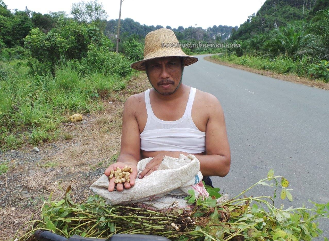
Location : Kabupaten Kotabaru, Kalimantan Selatan, Indonesia.
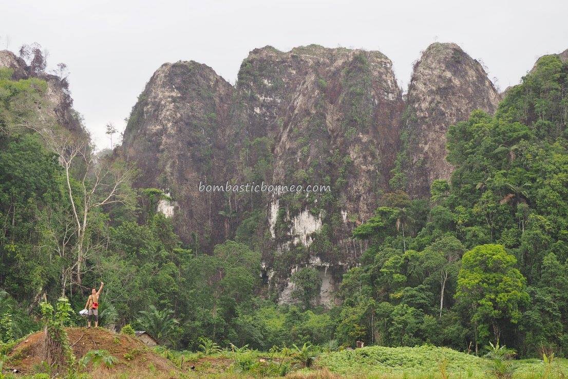
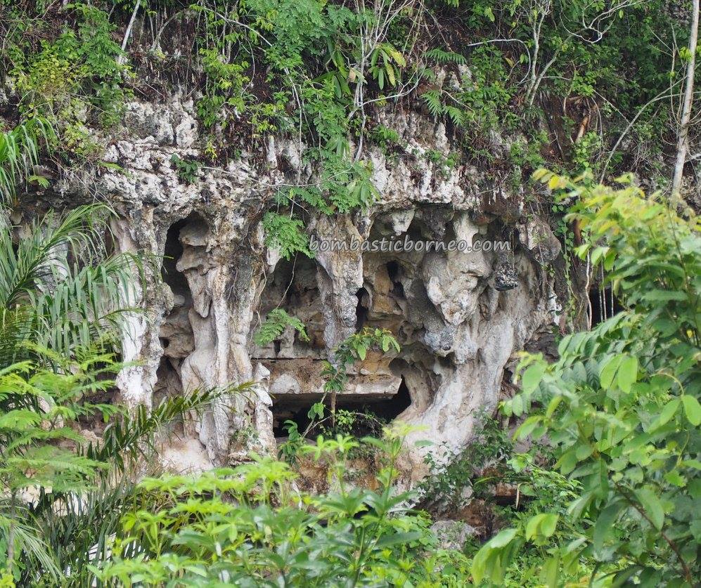
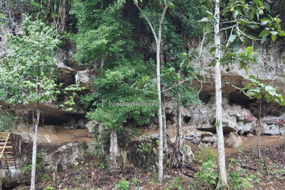
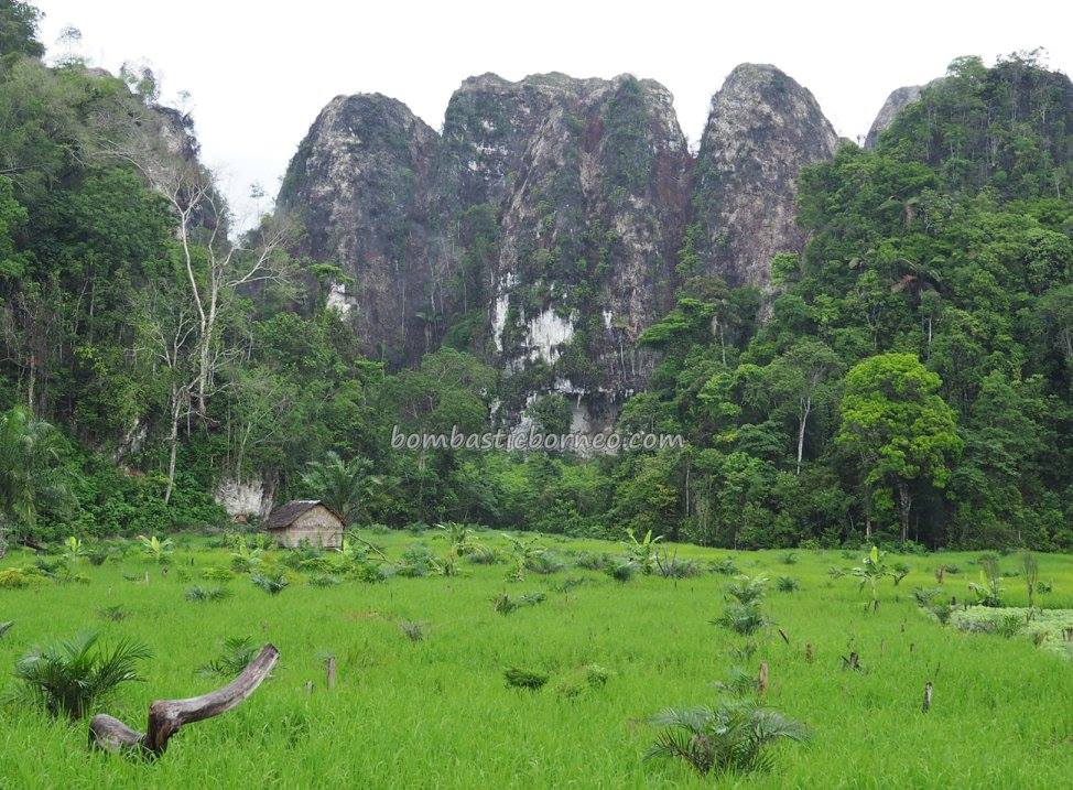
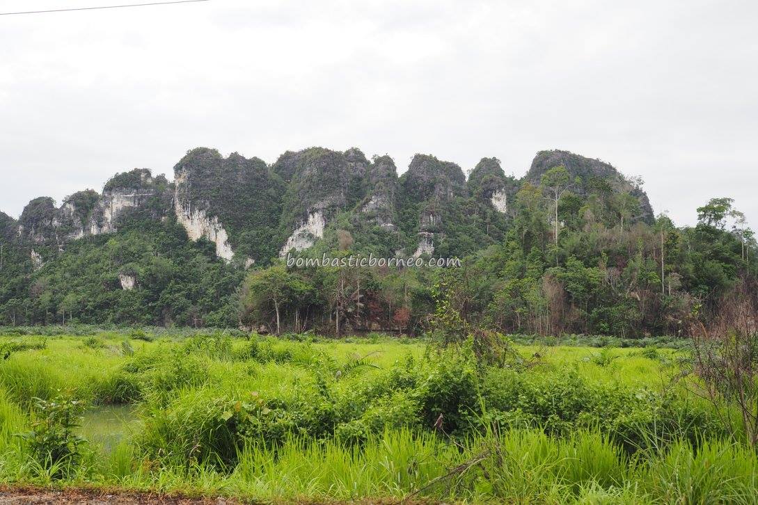
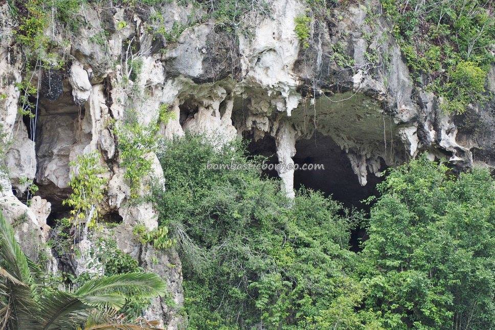
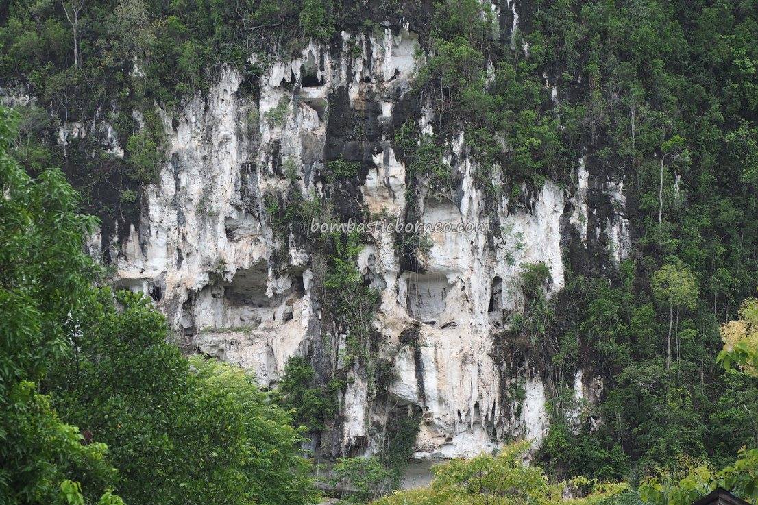
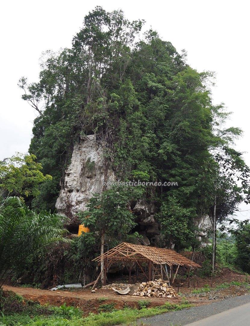
“Karst topography is a landscape formed from the dissolution of soluble rocks such as limestone, dolomite, and gypsum. (Wikipedia)”
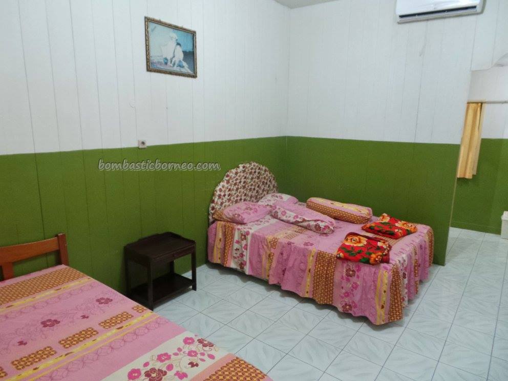
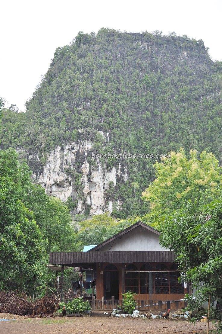
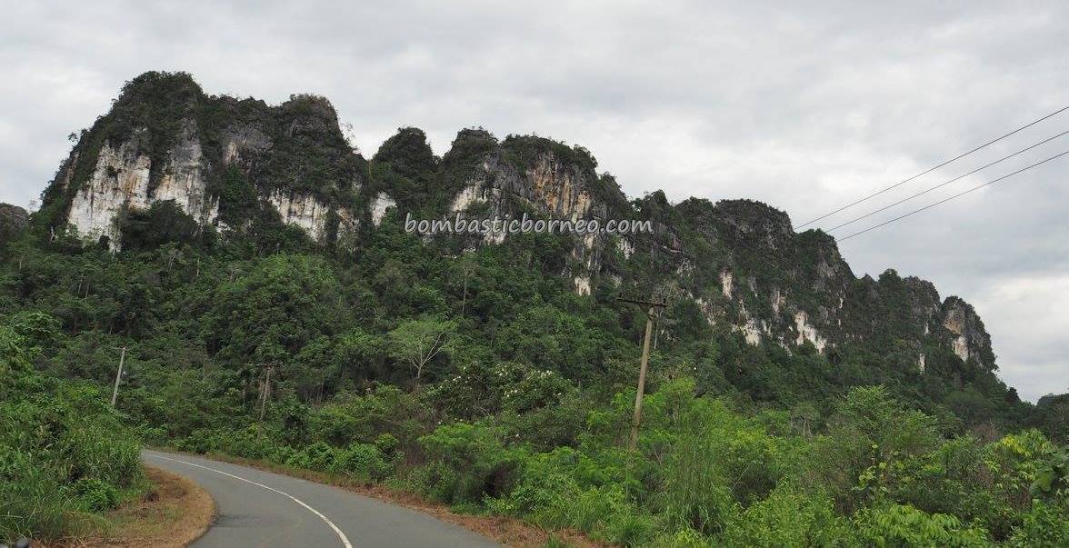
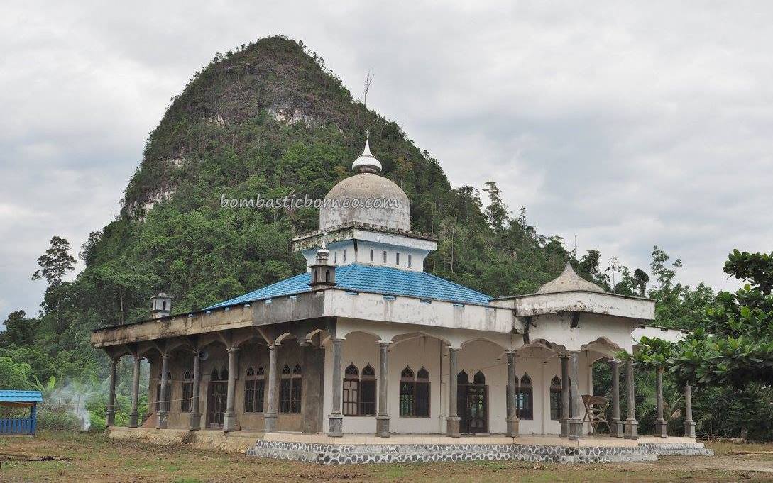
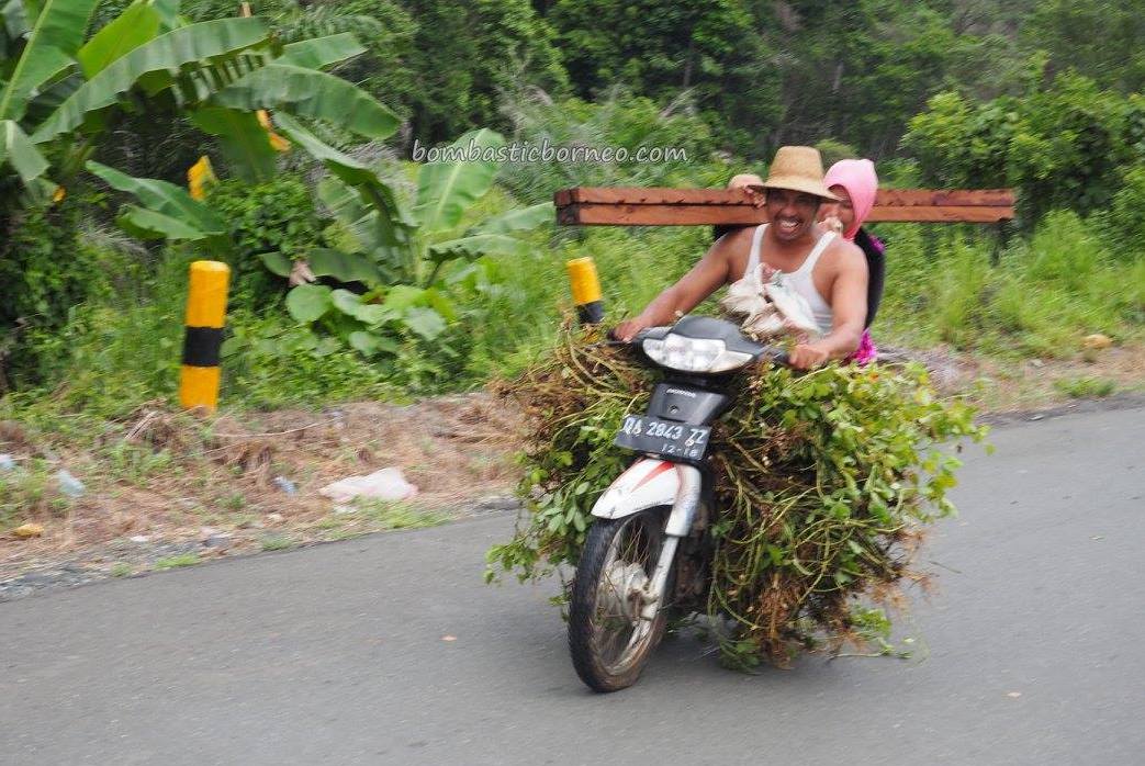
The karst of Cantung may not be as famous as that of Halong Bay or Guilin but since we were encouraged by Eko our guide from Pulau Laut to take a look, we thought we might as well. Checked out of Hotel Dewi VIP Room early and drove north along Jenderal Sudirman Road under a very gloomy sky.
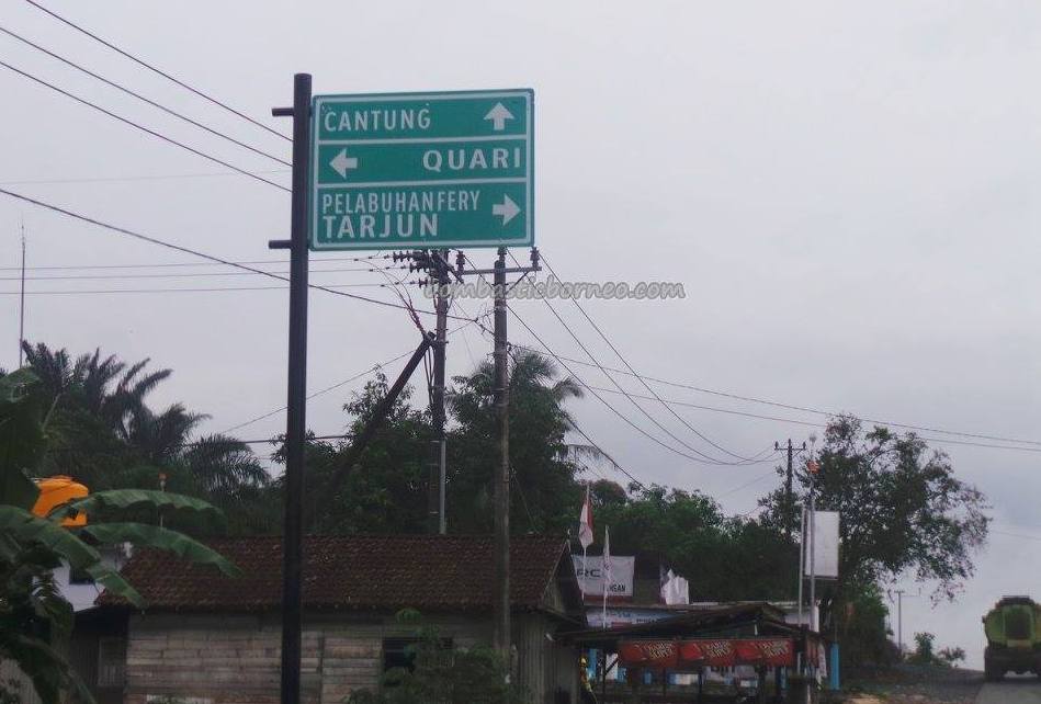
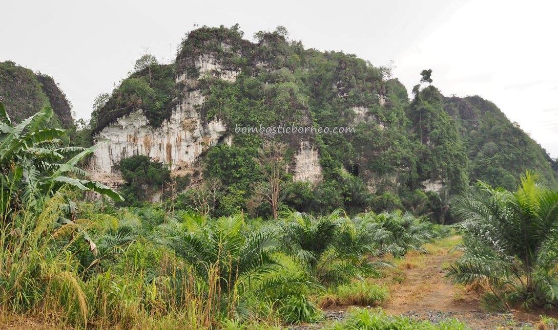
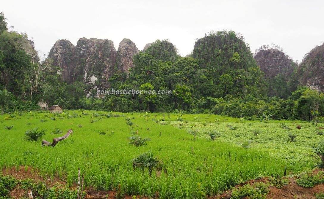
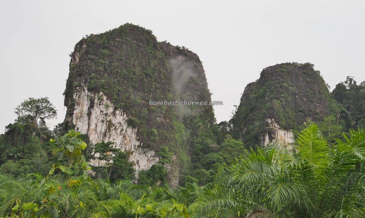
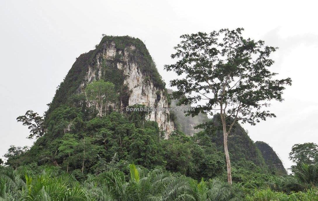
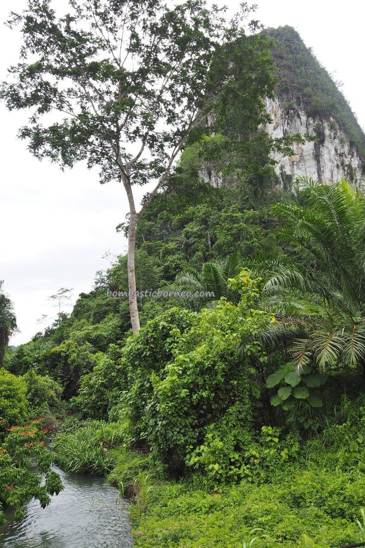
Rain came soon as we hit the karst area one hour from where we started. This awesome limestone/chalk topography stretched over quite a distance of this road leading into Paser/Tanah Grogot situated in the territory of East Kalimantan. 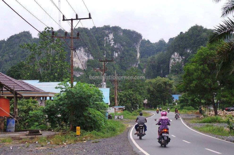
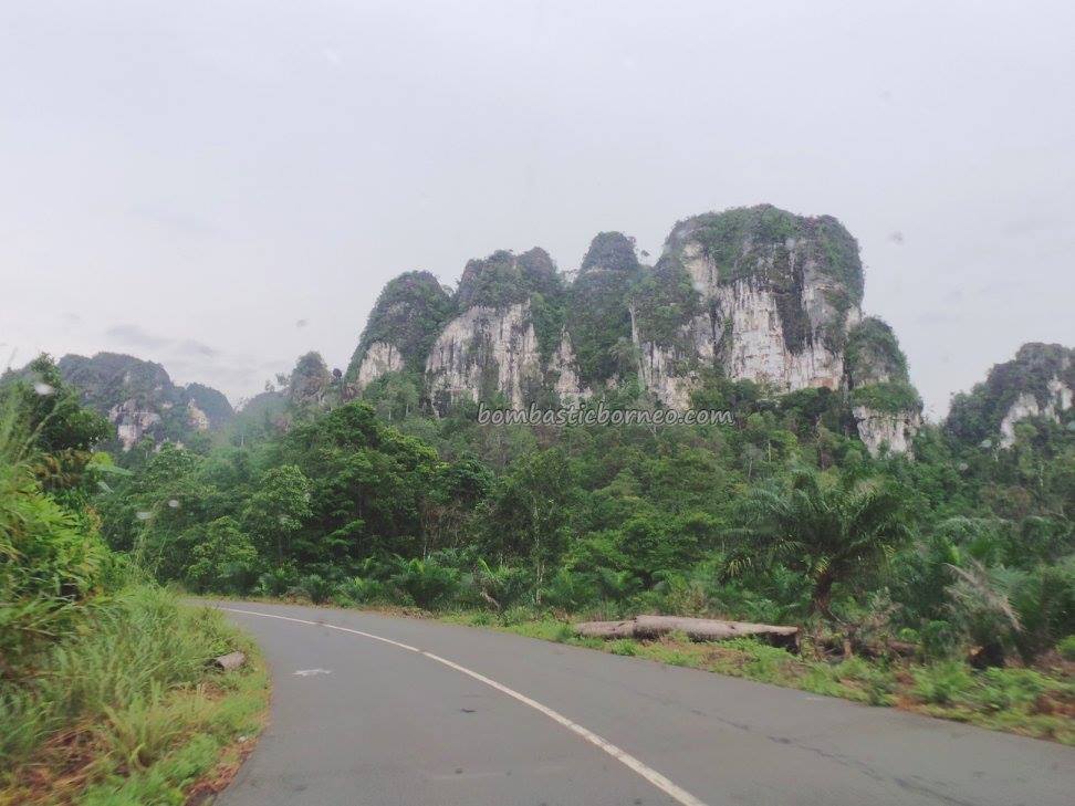
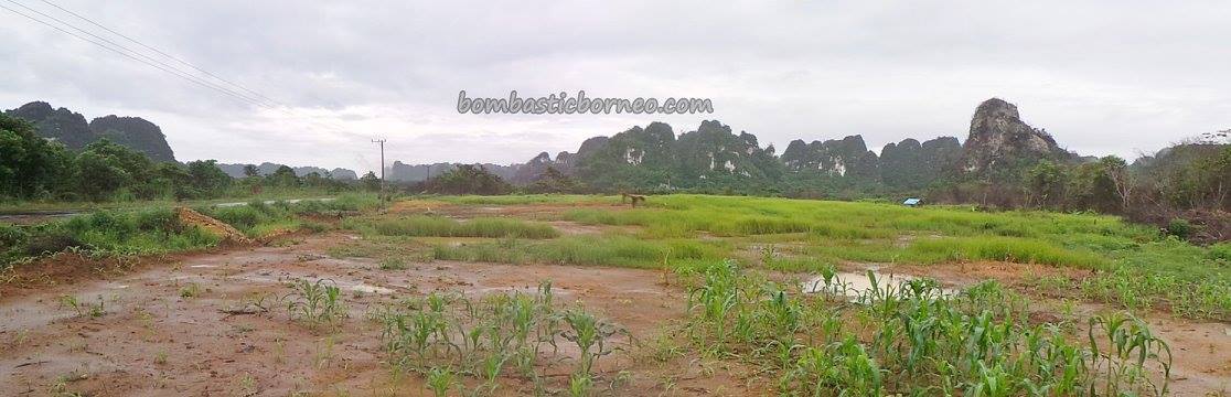
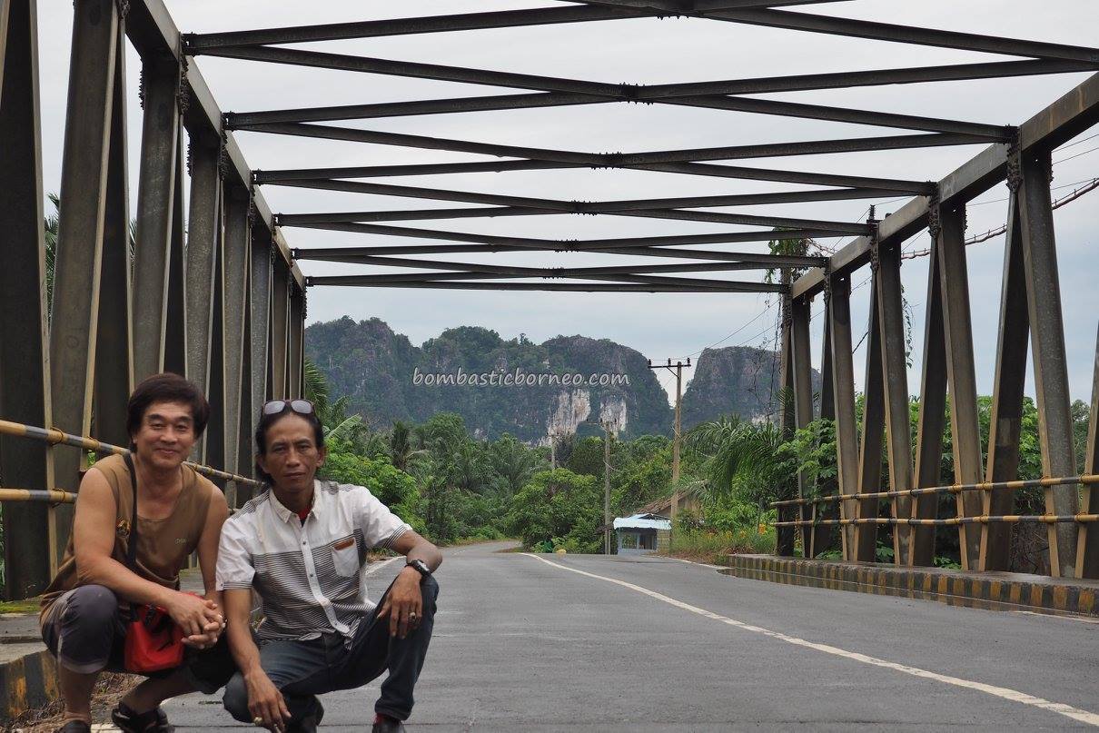
We would have loved to drive to nearby Tanah Grogot if not for Loksado. Beautiful as the karst scenery may be presently, it would be a matter of time when the fast growing oil palms cut off the view from the road. The oil palms were mostly not more than 3 years old so they were still pretty short to allow us to have a good view. But 2 years from now??? Next, to the highlands of the Meratus Dayaks – Loksado

To see more photos, please click our FACEBOOK PAGE
Also please check out our posts on
- Part 1 : Kota Banjarmasin
- Part 2 : Kaget Island with proboscis monkey
- Part 3 : Floating Market Lok Baintan
- Part 4 : Batakan Beach
- Part 5 : Tour Around Pulau Laut Utara
- Part 6 : Hutan Wisata Meranti
- Part 8 : Backdoor journey to Loksado
- Part 9 : Rainy morning in Loksado
- Part 10 : Paddy Fields of Kandangan
- Part 11 : Kota Intan (Diamond City) Martapura
- Part 12 : Lambung Mangkurat Museum, Banjarbaru

")


")


