
Location : Kampung Bundu Paka, Ranau, West Coast Division, Sabah, Malaysia.
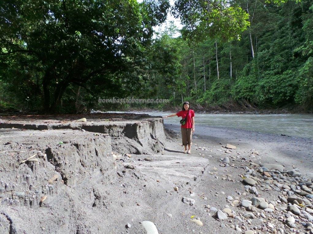
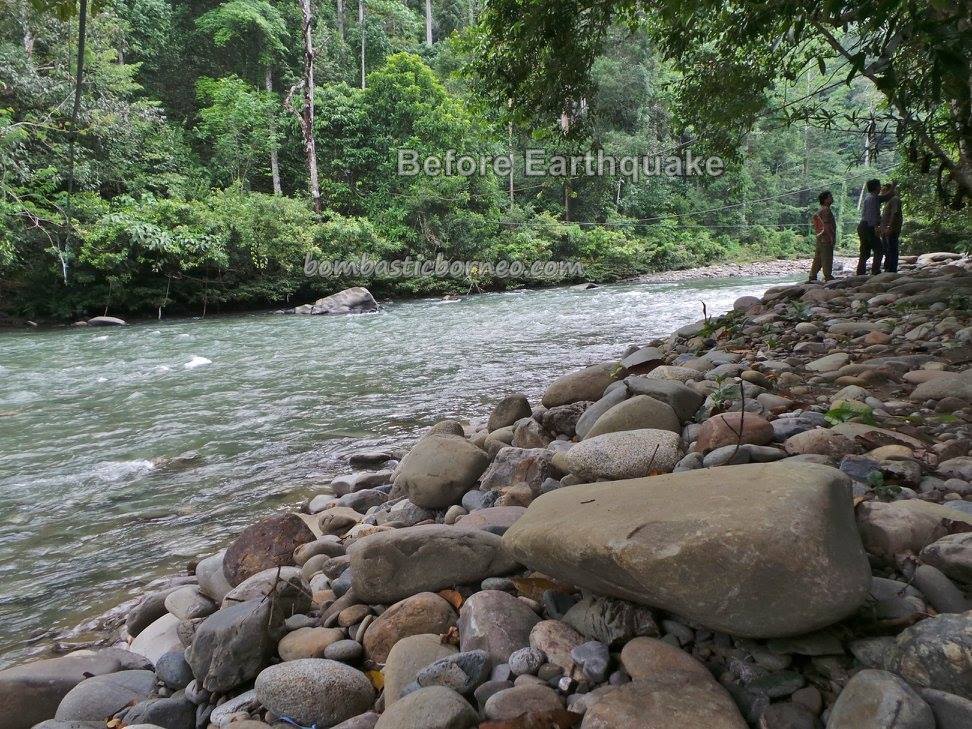
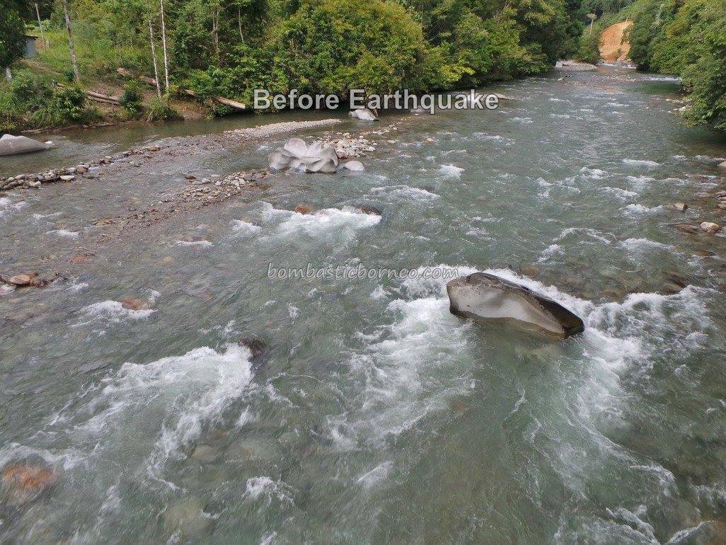
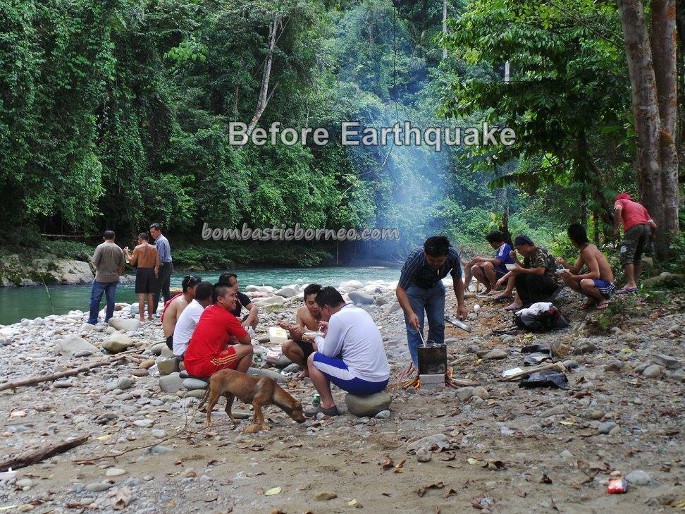
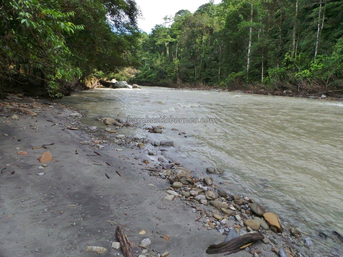
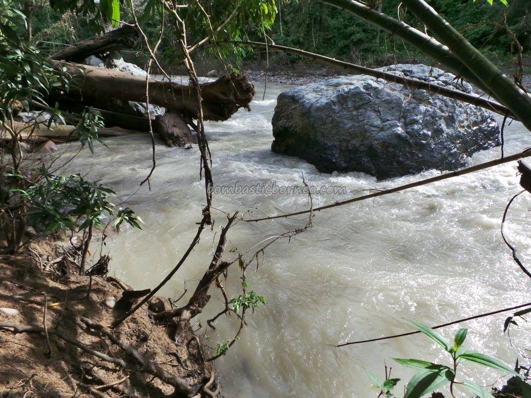
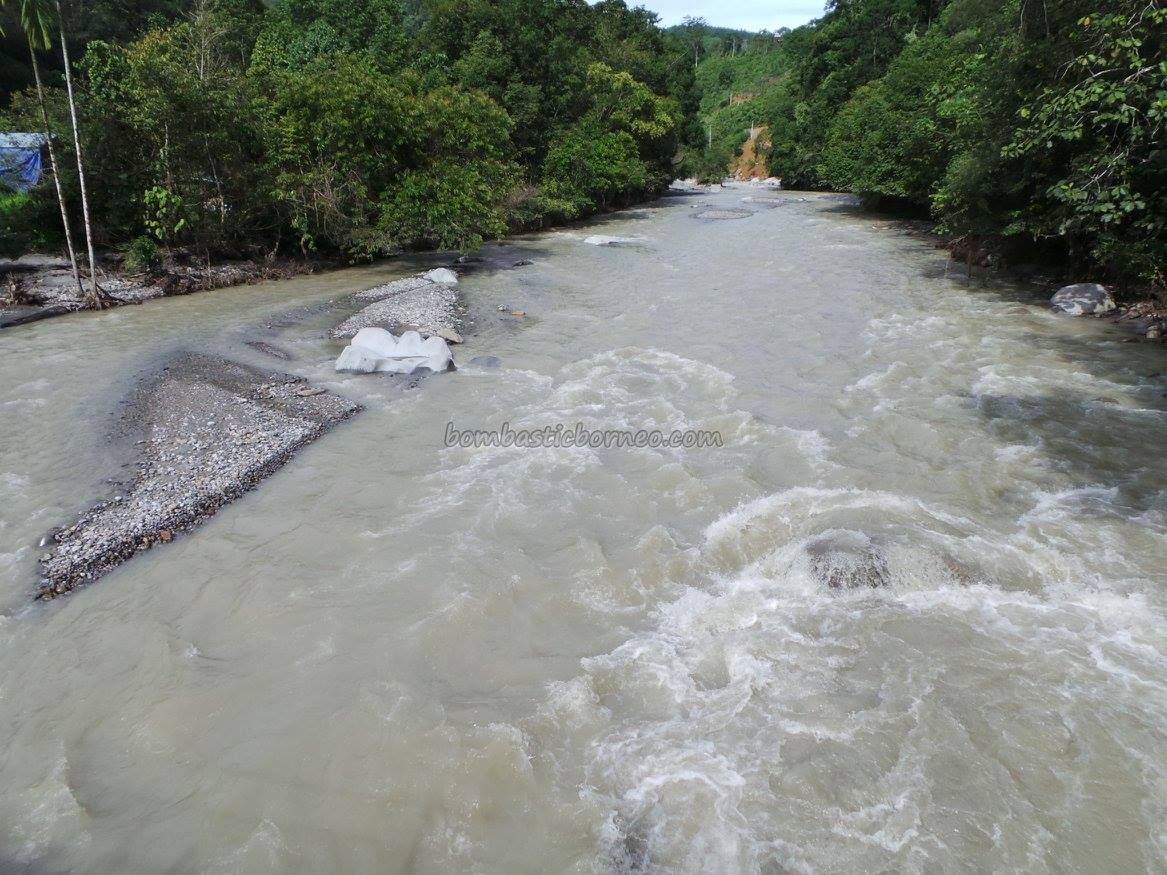
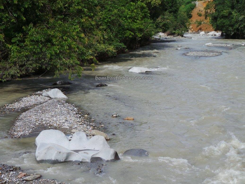
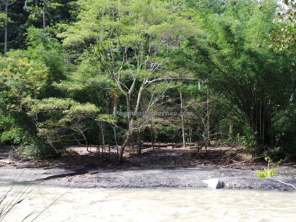
We are sharing this album just to show how the earthquake measuring 6 of 6th June 2015 affected the Kadamaian River that runs down Mount Kinabalu at the spot where the Dusun village of Bundu Paka stands. Returning from the Tip of Borneo we decided to put up the night at Gomez Sim’s Bundu Paka Lodge. My friend Tom had earlier warned me that things would be quite different from our last visit before the earthquake happened. True indeed, the crystal clear water was replaced by milky coloured water. The river became somewhat narrower mostly covered by grey sand. 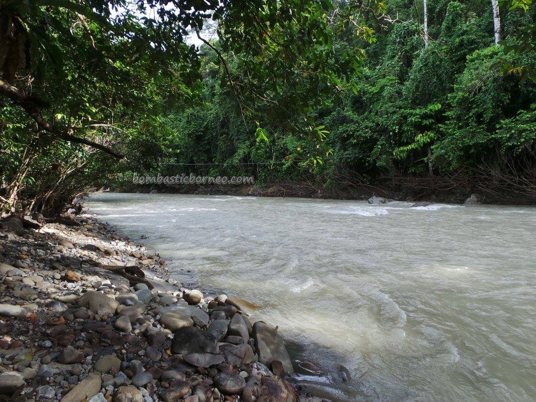
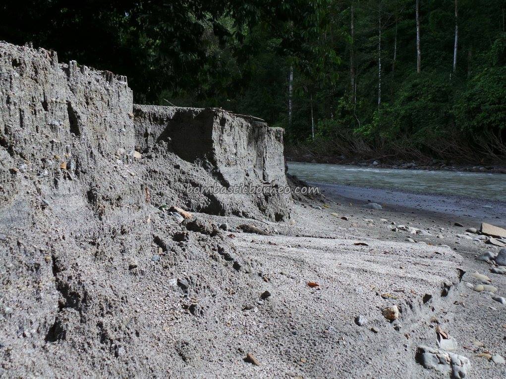
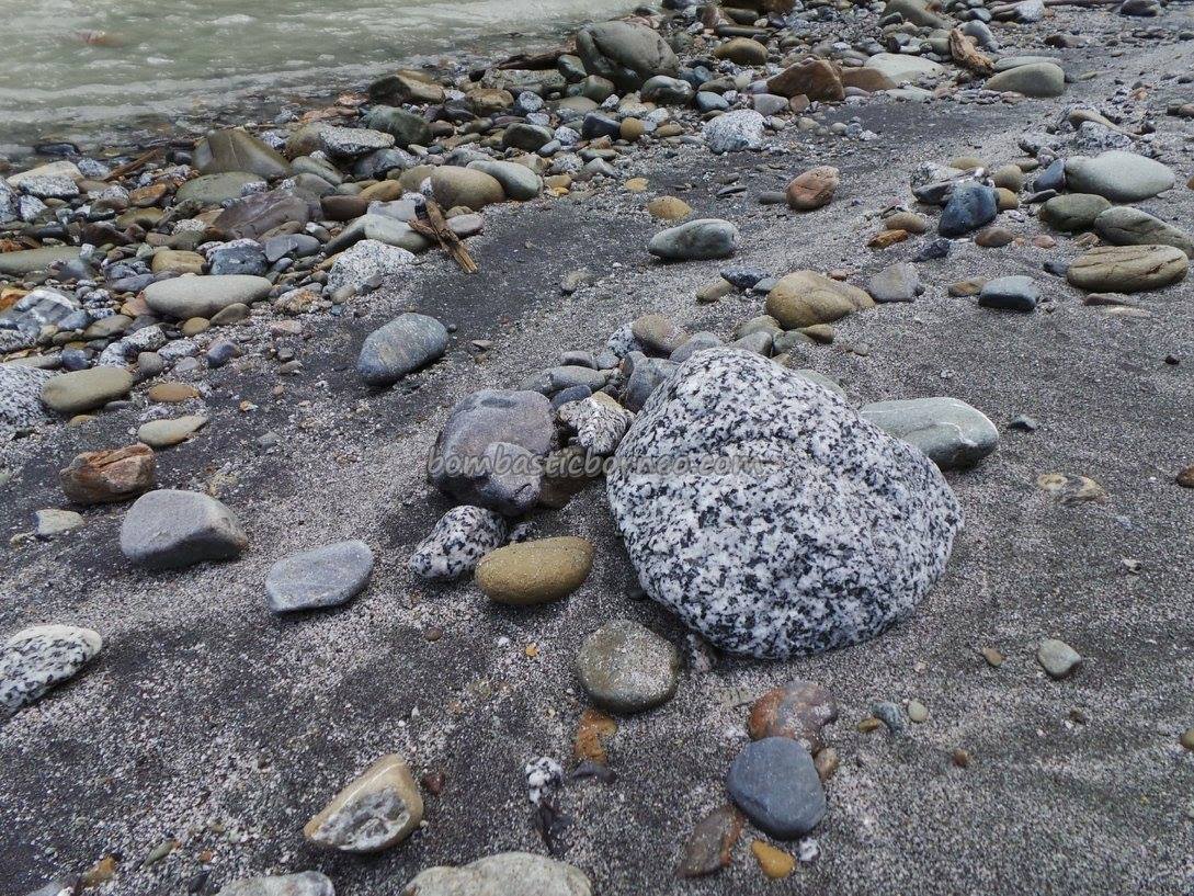
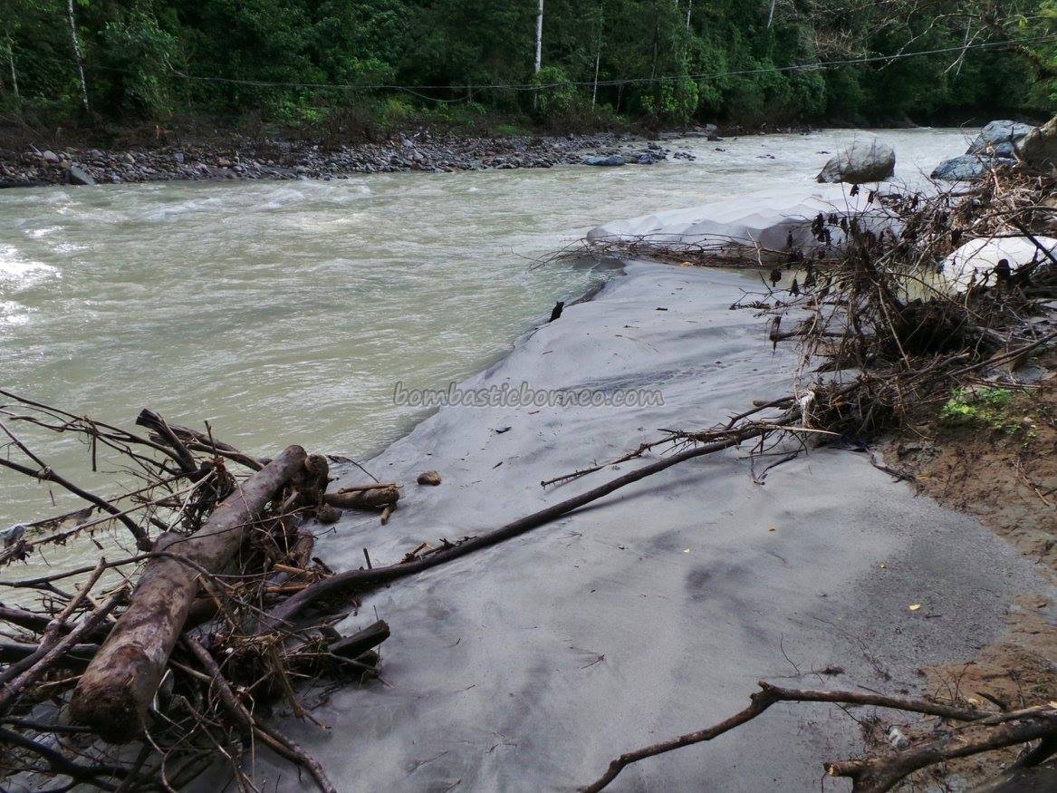 What used to be huge rocks were left with their tips sticking out in the water. Medium and smaller rocks disappeared under the grey sand. Dead trees brought down by the current littered the river banks. At some spots of the river bank we could see by the vertical drop of the sand, it was about a meter thick.
The breeding ground for fish or ‘lubuk’ must be filled up by the sand too. Will this ecological disaster affect the fish population? Can the villagers still enjoy fish BBQ at the river like we saw the last visit? Will the river ever return to its original state? If so how long? These were the questions that flash through my mind as I stood there watching the transformed Kadamaian River.
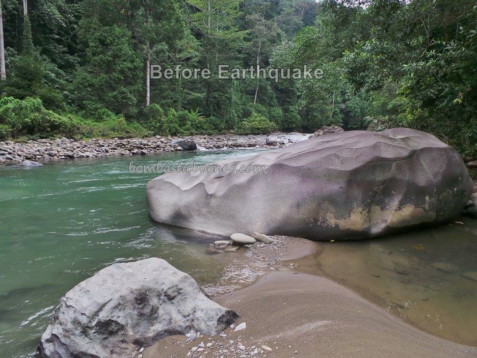
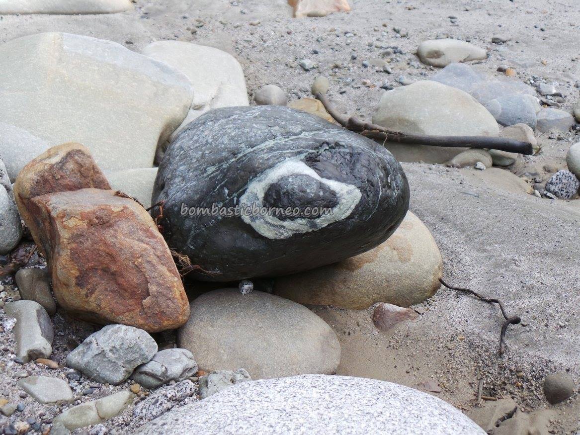
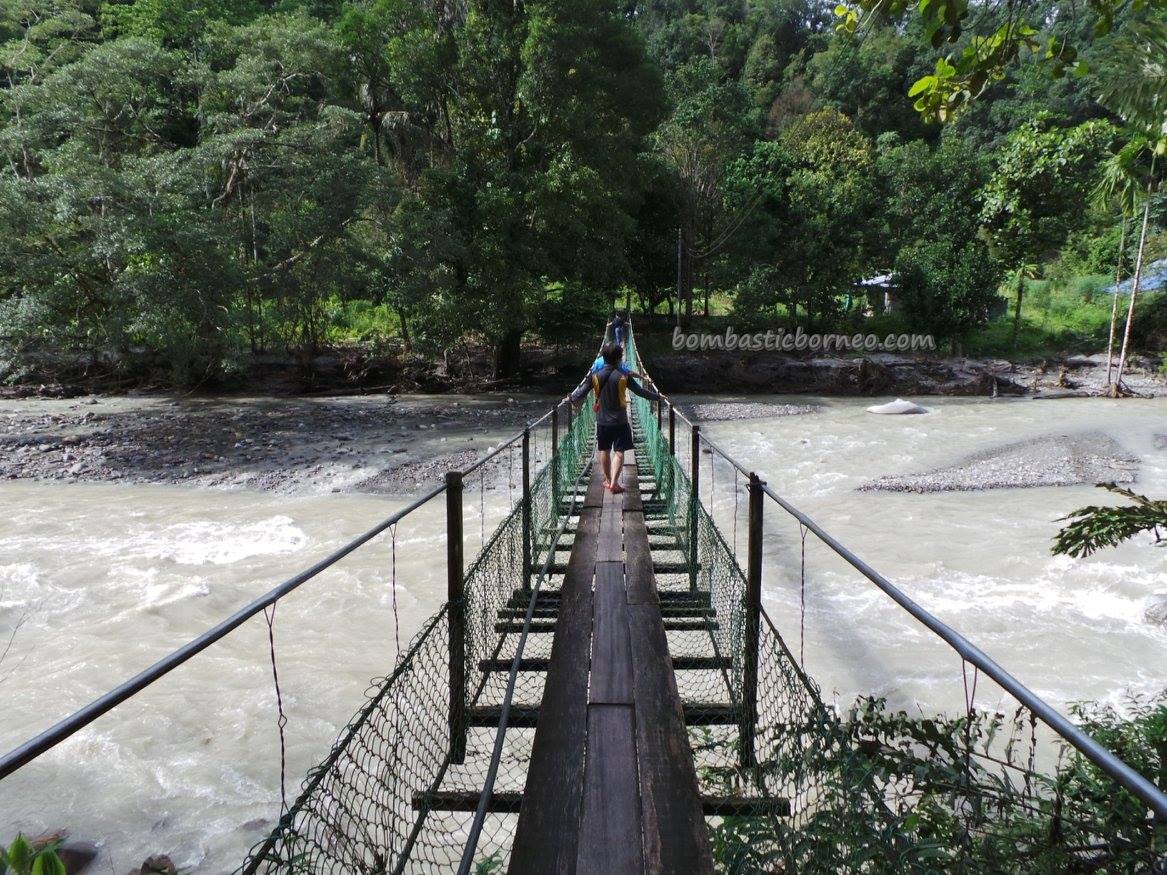
Before earthquake :

After earthquake :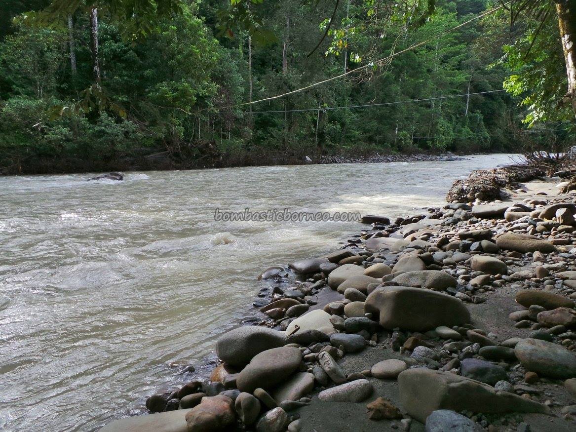


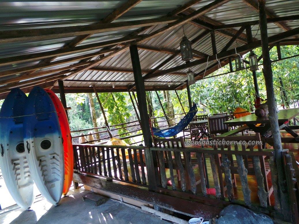
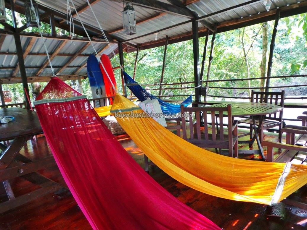
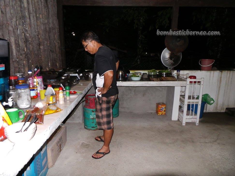
Bundu Paka Lodge (Click here for Bundu Paka Lodge post) :


")


")


, Sarawak 2011")

[…] For more info, please check out our web https://bombasticborneo.com/2016/11/kadamaian-river-before-after-the-mount-kinabalu-earthquake/ […]